


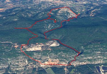
12.6 km | 17.6 km-effort

User


FREE GPS app for hiking
 SityTrail
IGN / Geographical institutes
SityTrail World
The world is yours!
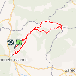
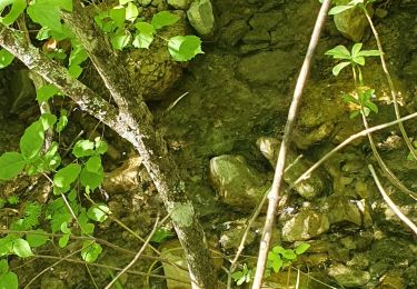
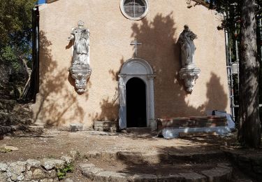
Trail Walking of 17.4 km to be discovered at Provence-Alpes-Côte d'Azur, Var, La Roquebrussanne. This trail is proposed by phidge.
P2 T2
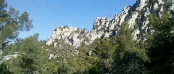
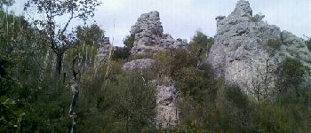
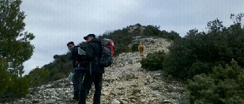
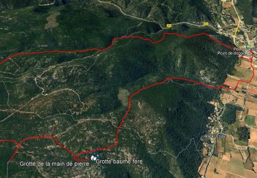
Passage "escalade" dans rocher pas recommandé au personnes sujettes au vertige.
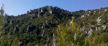
Fort dénivellé après point 574 jusqu'au sommet de l'Amarron à 770m


Walking
Walking
Walking
Walking
Walking
Walking

Walking

Walking
Walking